Our Services
Project Status
Done
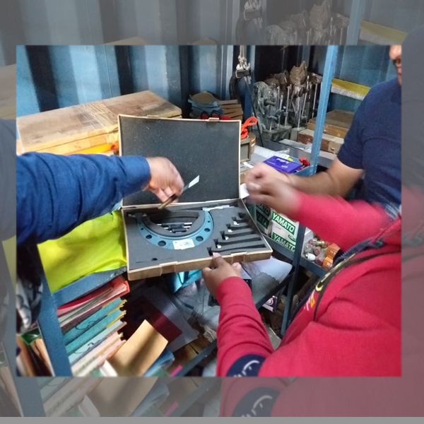
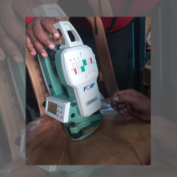
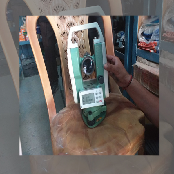
Dhruv Technology and Services is authorized to calibrate and repair all kinds of Surveying Instrument. We also have Authorization to provide servicing surveying Instrument in INDIA. We Repair, Calibrate and Provide After-Sale Service to all Civil Surveying Instruments for which we give Original Certificate of Authentication to Our Customers. Our Service Centre have state-of-the-art facilities that are fully equipped with modern technology and latest test equipment which is required for any Civil Instrument of the industry. Our Service Centre are built as per Equipment Manufacturer guidelines and equipped with all the Original Tools required to build an Instrument. We have modern tools and fixtures to Repair and Calibrate Manual and Robotic (Motorised or Motor Driven) Total Station, DGPS/RTK, Electronic Theodolites, Digital Theodolites, Auto Level and other Surveying Equipment in India. We know the value of money of our clients. So we provide Post-Repair Training of their Instrument to satisfy our clients. Dhruv Technology and Services have technically qualified ProfessionalTeam of Engineers with Years of Experience in this field to provide prompt and efficient Pre and Post Sales Service and Support to Our Customers.
Our Services
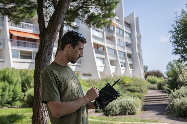
Better Performance on GPS RTK with External Antenna in the Forests
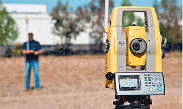
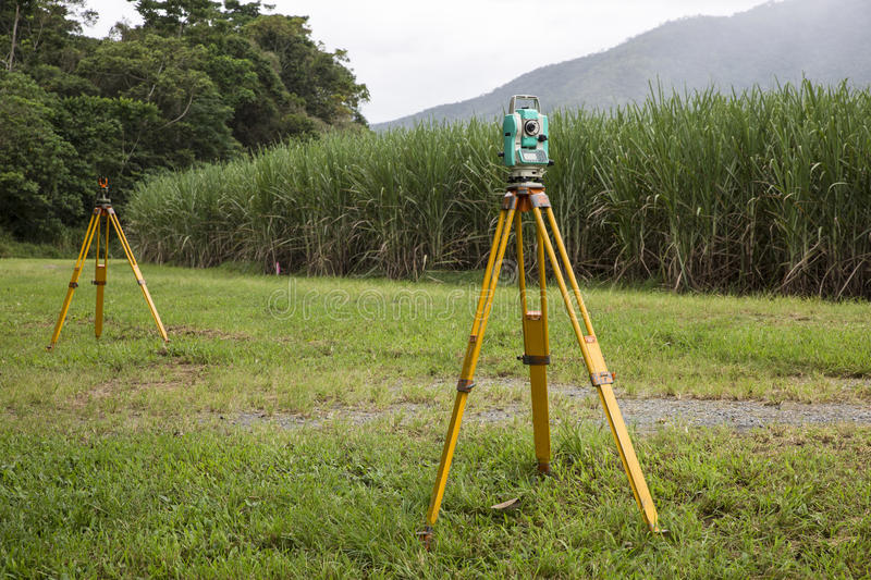
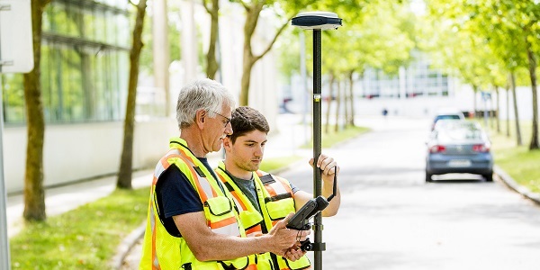
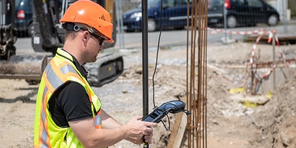
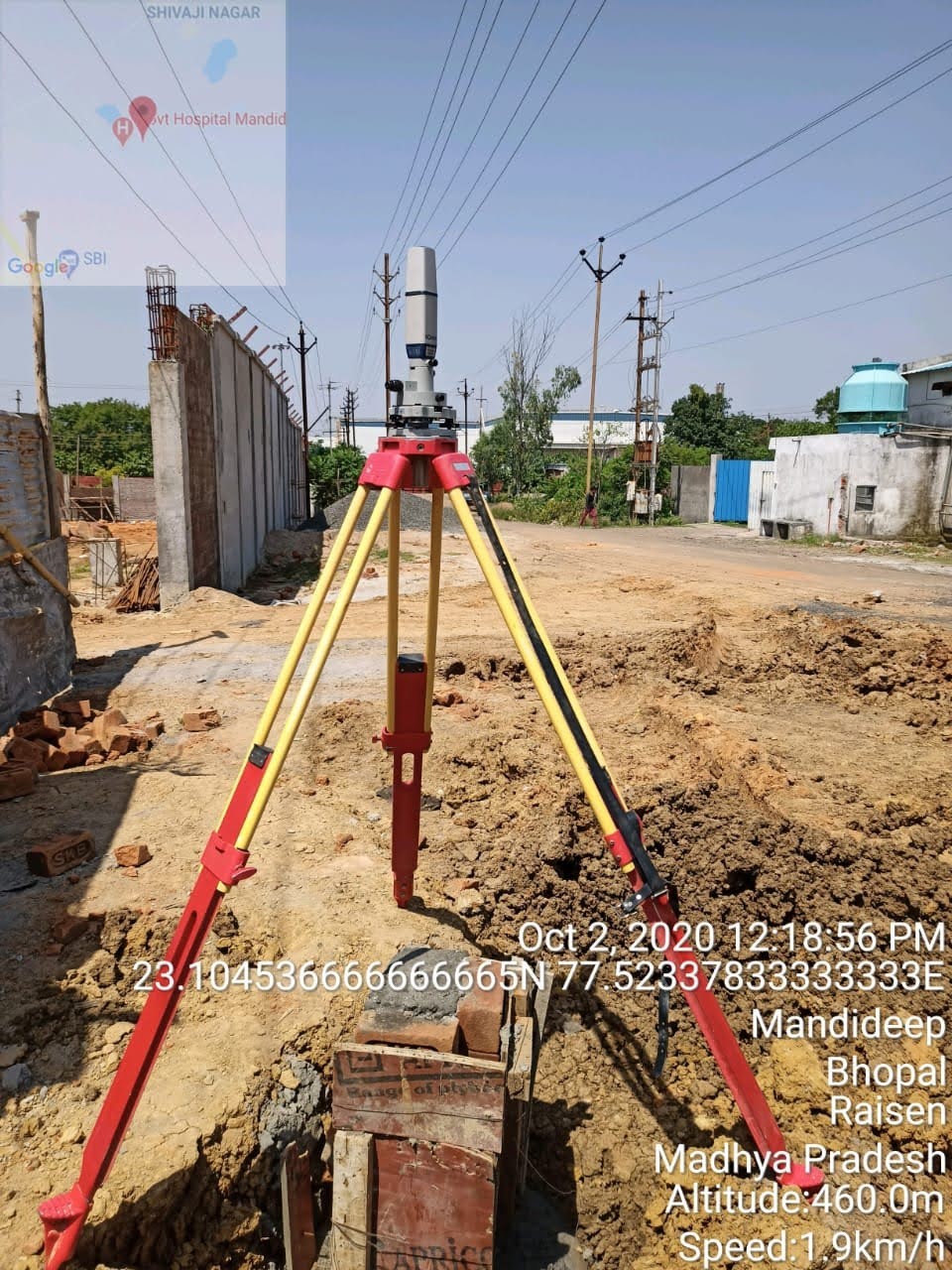
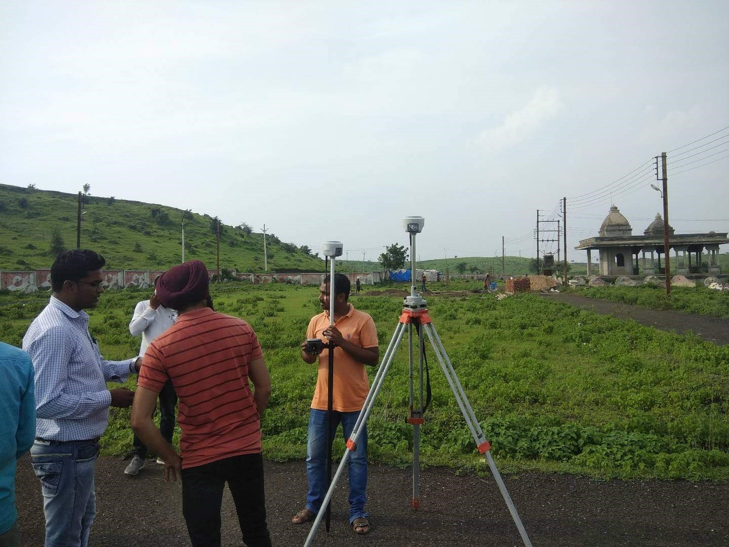
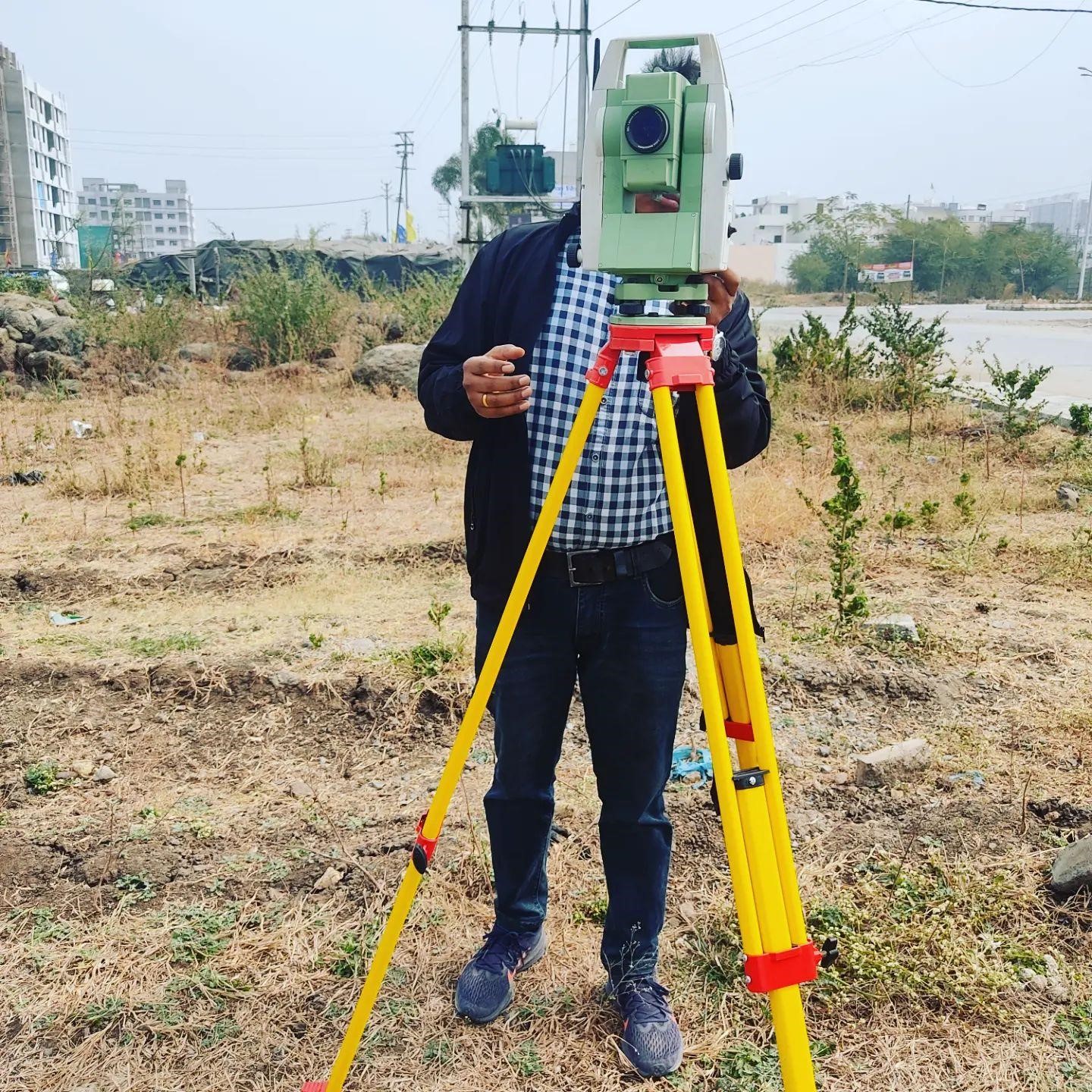
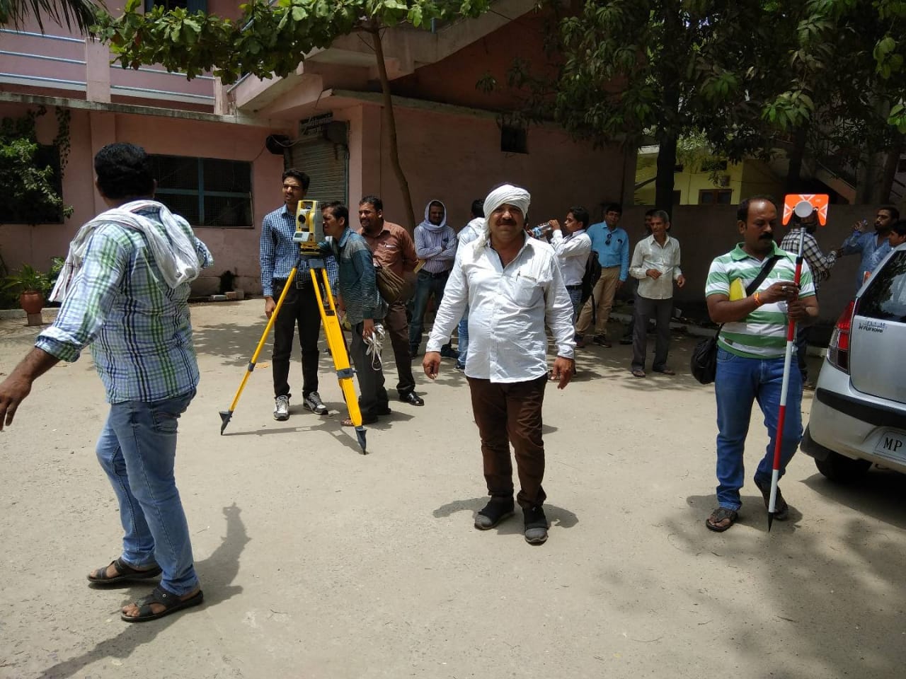
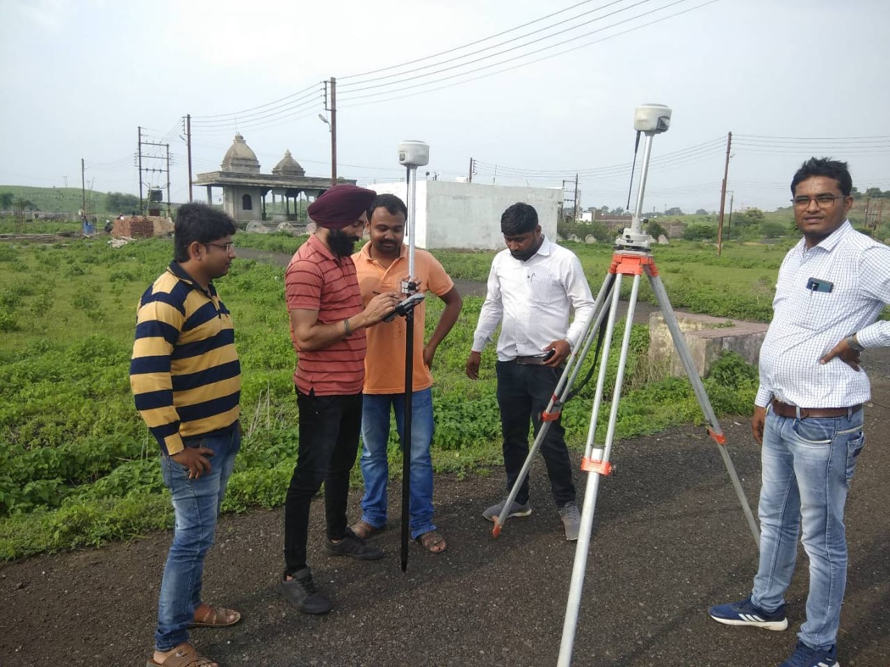
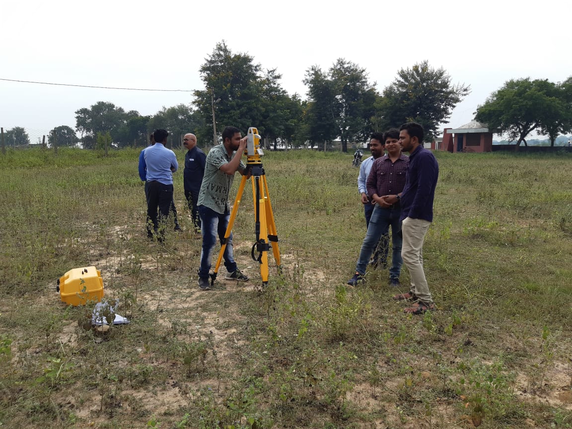
DGPS and Total Station Survey
Topographic Mapping and Surface Modeling
DGPS control stations/GCP
PPK and RTK survey
Sections and Profile survey
Digital Mapping
As Built Survey
Layout and Demarcation
Level Survey/ BM Transfer
Computerized drawings
Area surveys and Contouring
Any type of Engineering Survey

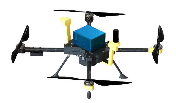
Drone Survey
Engineering grade Aerial Survey
Stereo Photogrammetry
High Resolution Aerial Imagery
Aerial Triangulation
Digital Terrain Modeling
3D Topographic Mapping
High Resolution Ortho photo mosaic
Nadir (Straight-down) & Oblique Aerial Imagery
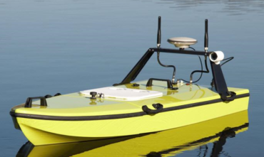
Hydrography Survey
Lake and reservoir surveys
Environmental surveys
River and Ship Channel surveys
Dredging survey Pre and Post Dredge
Volume Calculations
Sedimentation
Erosion sites
Monitoring

Lidar Survey
The application of LIDAR is in various fields including
Highways and Roads “Design, Construction, Maintenance and Asset management
Railways “ Design, Construction, Maintenance and Asset management
Public Health Engineering “ Water Supply / Sewerage design and construction
Industrial and Infrastructure Projects
Irrigation Projects
Smart Cities “ Design, planning and construction
Other civil Engineering projects

NSV Survey
Pavement Type
Pavement Width
Terrain
Land Use
Shoulder Type and Width
Drain Type and Width
Wayside Amenities
Crash Barrier
Signages
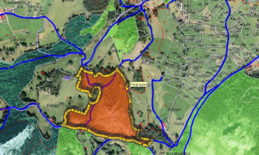
Remote Sensing and GIS
Land planning and management
Highway mapping
Event mapping “ accidents, crime, fire etc.
Census mapping
Statical mapping
Environment impact studies and assessments
Transportation mapping and management
Urban planning and mapping

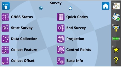
Survey
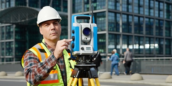
OPTICAL SURVEYING
GIS MOBILE MAPPING
DATA COLLECTOR
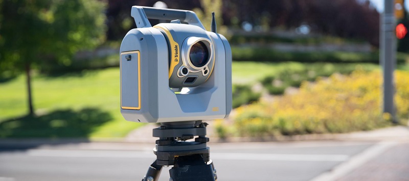
TERRESTRIAL LIDAR
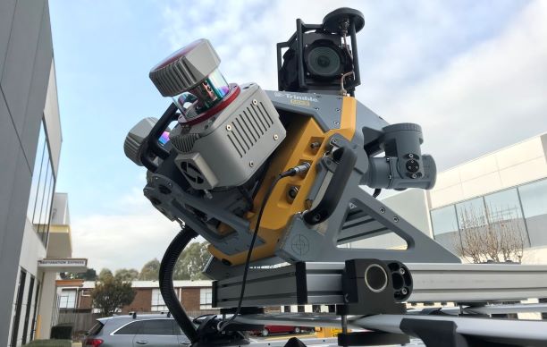
MOBILE LIDAR
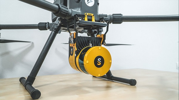
UNMANNED AERIAL VEHICLE
We are experienced with well over 10 years in the Surveying field and we are a team of work enthusiasts to provide ultimate customer satisfaction, providing services across India.
- We specialize in construction layouts, grid marking, topographical surveys, boundaries, demarcation, subdivision design, title and boundary surveys, unit surveys, digitizing, map reproduction, and preparation, and provide dedicated mapping services.
- Integrating our newly refined data communications network, high-quality surveying instruments, and experienced staff, our land survey services can be an efficient solution to every project.
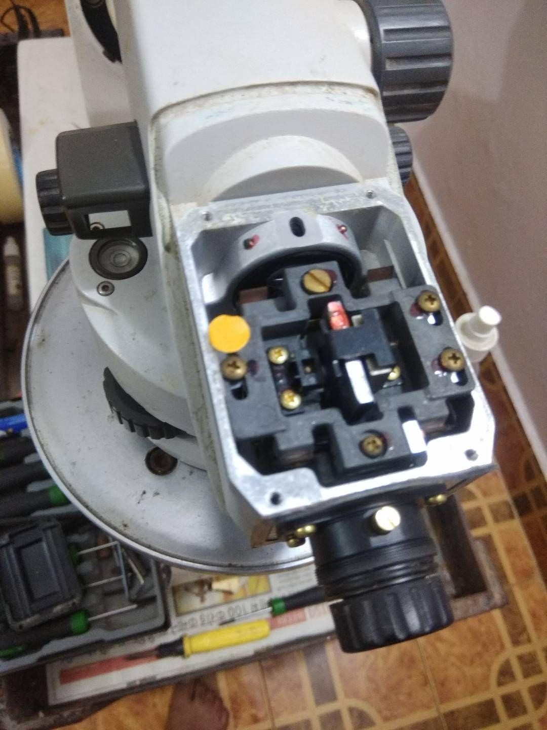
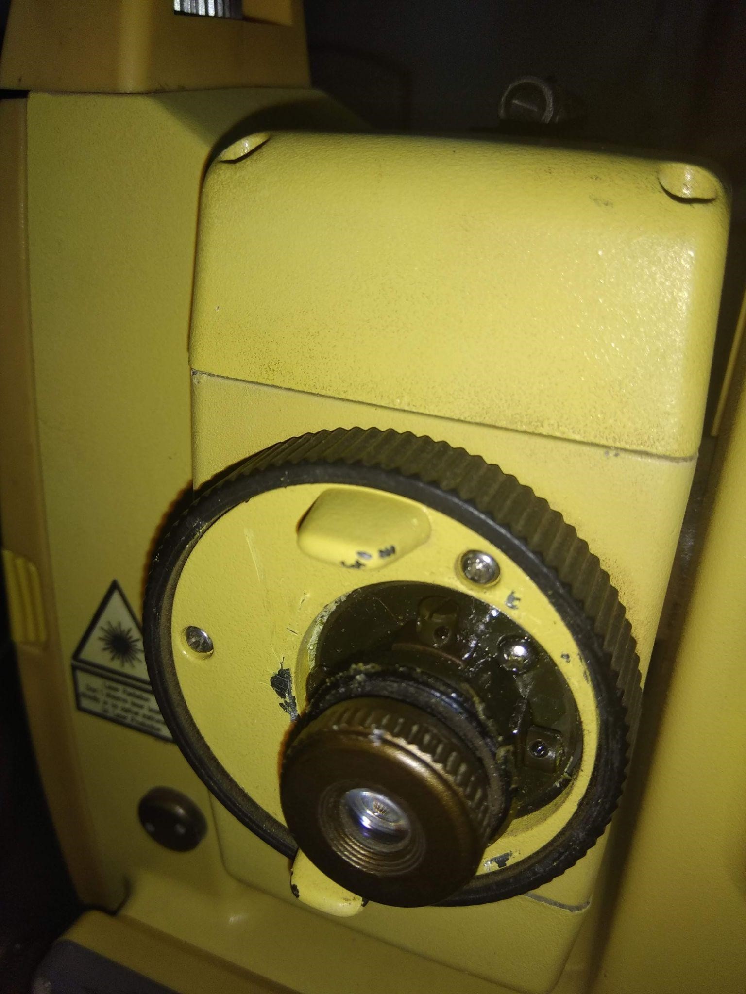
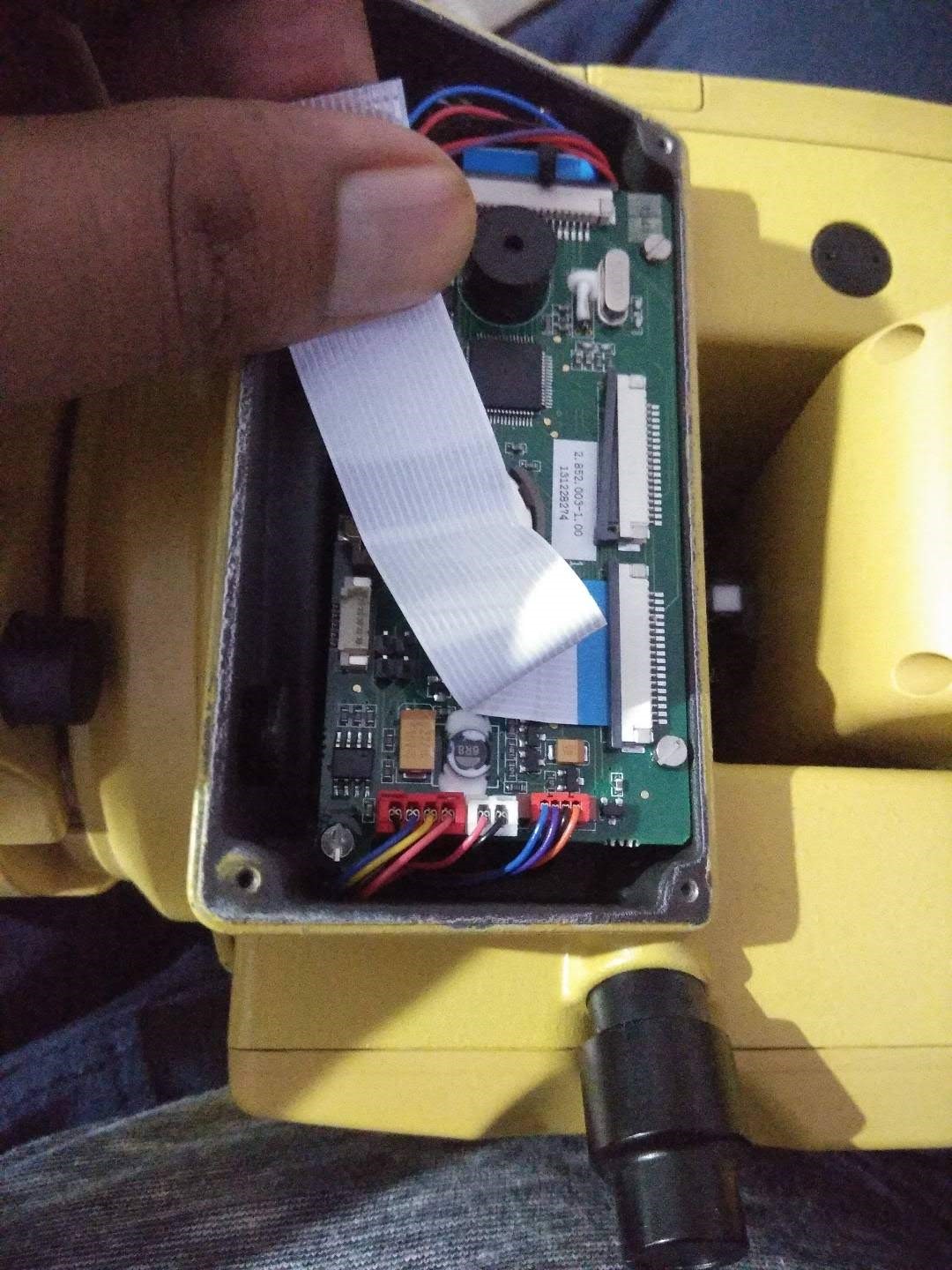
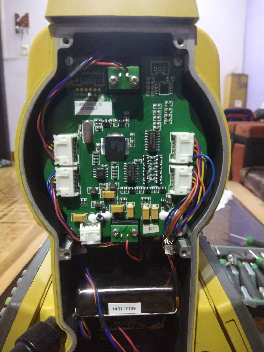
Dhruv Technology and Services provides complete repair service and calibration of all types & all brand Total Station and other survey instruments.
- Our employee's long history working with precision instrumentation has given us some unique repair and calibration capabilities.
- Our employees have 10+ years of experience in large numbers of precision optical/micro-optic instruments servicing repair and calibration. Have experience working with everything from dumpy level to Theodolites and from the Total Station to Optical Tooling to precision alignment instruments.
- Our services are offered complete with certification with 6 months as well as 12 months validity.
We at Dhruv Technology and Services provide various project reports and cost estimates for our customers in the private as well as government sectors.
- Our focus is to provide true data and satisfactory conclusions of the reports provided to the client with the help of the latest technology and consulting.
- We also provide innovative ideas and insight as per customer needs for better understanding and resolution of the project at hand.
We provide testing and certification for various civil equipment.
- We are also in league with very prestigious certification institutions which are accredited by India’s most prominent testing and certification authorities such as NABL, etc.
- We are entrusted by many infrastructures and development companies for our services.
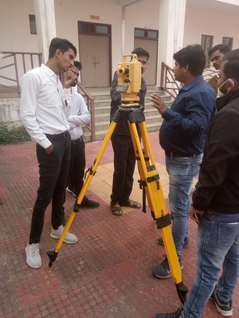
We are a company which provides Land Survey and civil equipment training in India, land surveying is a process that is used to determine the features and boundaries of a property and to determine easements, and encroachments, to find out how to develop or build on the land, as well as to maintain local codes and regulations.
- Land Surveyors measure distances, angles, and positions to develop a map of the field.
- The objective of this Training is to provide basic knowledge of digital surveying and mapping of the earth's surface using Total Station, DGPS, Auto-Level, and mapping software. The Training starts with an introduction to land surveying followed by fundamentals of surveying instruments and their working & measurements for land surveying and mapping fundamentals, digital surveying techniques, data reduction, etc. After completion of the Course, we will provide certification, and also students will be able to demonstrate standard techniques to locate and determine three-dimensional coordinates of points on the ground using surveying instruments.
We have an exclusive range of AMC (Annual Maintenance Contract) and CAMC (Comprehensive Annual Maintenance Contract) services which are designed according to the needs of our customers.
- Our customers can choose from our existing offers or redefine a new offer according to their specific needs and mutual understanding.
Contact
Location:
163, Saptashrungi Nagar, Indore, Madhya Pradesh 453331
Email:
dtechservices1108@gmail.com
dhruvtechnologyservices@gmail.com
Call:
+91 831 917 3140
+91 909 851 1630